Backcountry Skiing in the Wasatch Mountains
Wasatch Mountains, directly east of SLC, are relatively steep and rocky. Thus they are a domain of backountry skiers, mostly on the telemarks. I have bought a pair in late 2000 and being just a beginner, I have joined my friends only on a relatively mild terrain..
Mill D North Fork - Big Cottonwood Canyon
This valley leads north out of Big Cottonwoodu towards the ridge above Millcreek Canyon. Start of the trail is about 10 miles up the canyon at the Spruces Campground turnoff. The trail then climbs mildly about 2 miles to an intersection towards Dog Lake. We haven't gone there yet. Right turn continues up Mill D Fork east. After climbing an aspen covered hill, there is a meadow with another junction. Valley left (north) leads to famous Powder Park, where are several mild treeles hills which provide a good learning ground. Trail east goes for another 1.5 miles to Desolation Lake, which is under the Park City ridge. From here, one can climb up the ridge south of the lake towards Beartrap Fork and return in the main Big Cottonwood Canyon. The Beartrap Fork trailhead is about 1.5 miles above the Spruces Campground. Here is a map (390 kB) of the area.
Fotos and descriptions
Click on the picture to display the original size.
Mill D North - Powder Park
We did this tour in mid January during a nice sunny day.
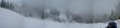
 View on the southernmost slope of the Powder Park.
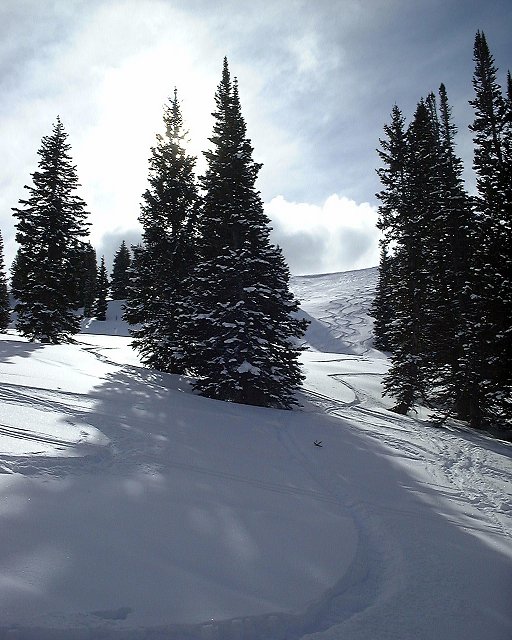
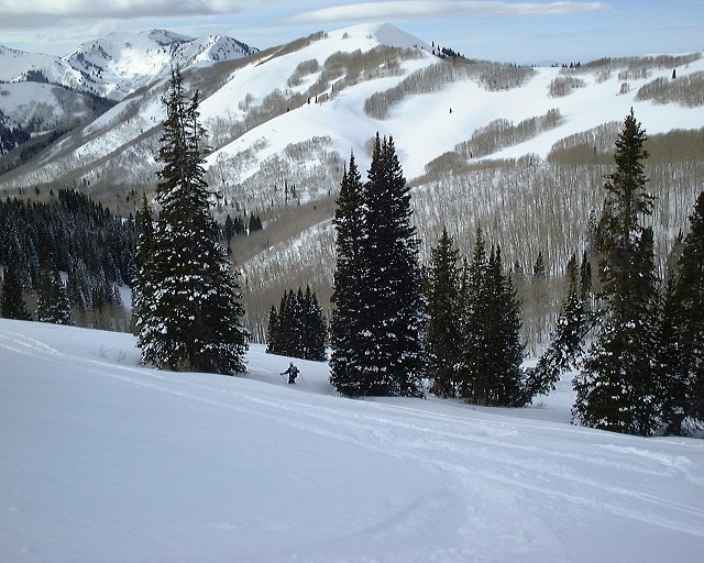
 View from the same spot down.
 Panorama from our highest point west, on the left in the distance is the Big Cottonwoodu mouth.


 Gary cranking some turns.

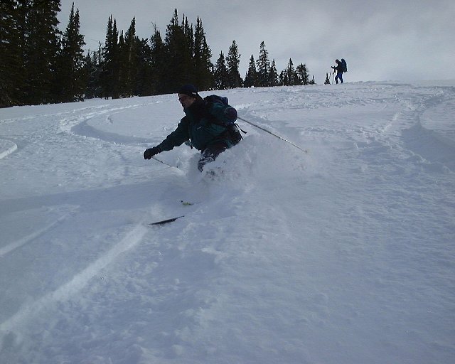
 Christoph and Gary continue down.
 Panorama from about half the slope to the south-west, into Mill D Fork.
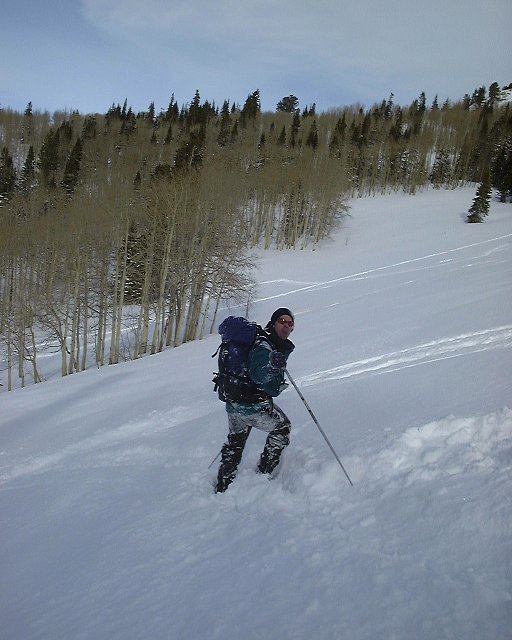
 Gary in not such a good powder in lower Mill D Fork.
Mill D North - Desolation Lake - Beartrap Fork
We did this tour a week later during a snow/sleet. The snow had a thick ice crust, so there went the skiing. Instead, we opted for a touring loop, which took almost 5 hours.
Here is Gary's impressions (the pictures are right in the document, so wait till the document loads).
 Starting at the car.
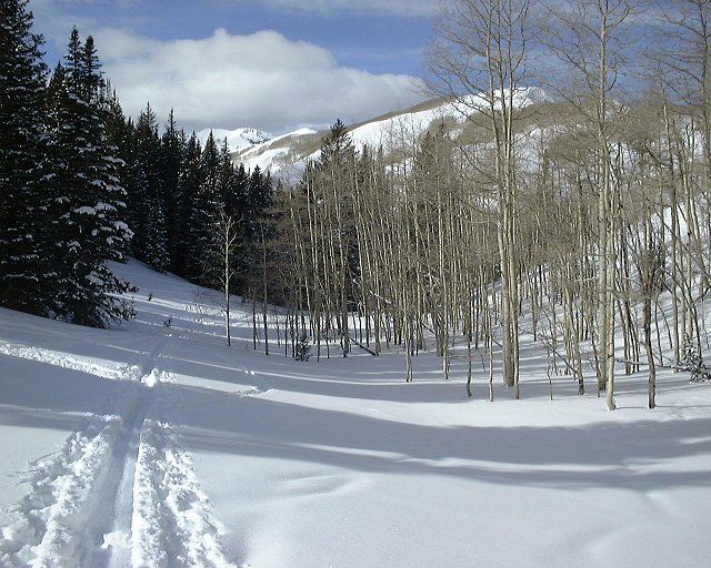
 Mill D Fork before the turnoff towards Powder Park (the hill in the back is its part).
 Panorama of the upper Mill D Fork, about 700m below Desolation Lake.
 Panorama from a ridge south of Desolation Lake north towards the lake.
 Gary above Desolation Lake.

 Iced trees above Desolation Lake.
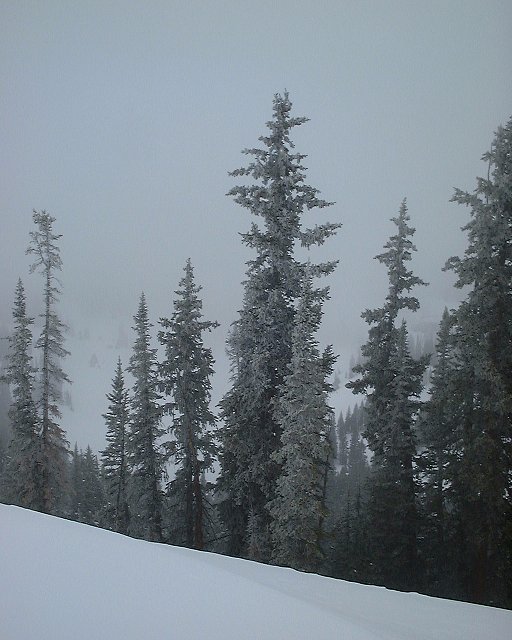
 Ridge south of Desolation Lake on which we climbed up.
 Panorama of the upper Beartrap Fork south. Here we took the skins off and started to slide down.
 During the ski down in about middle of Beartrap Fork.
Back Comments, questions
U of U / CHPC / Cuma / Travel / Czech / Backcountry Skiing in the Wasatch Mountains
URL: http://voth.chem.utah.edu/~mcuma/w_bck01e.html
 View from the same spot down.
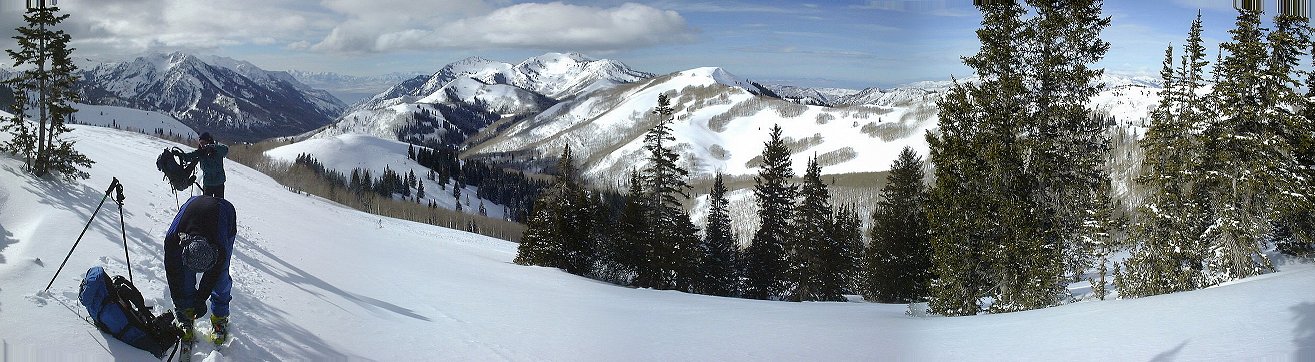 Panorama from our highest point west, on the left in the distance is the Big Cottonwoodu mouth.
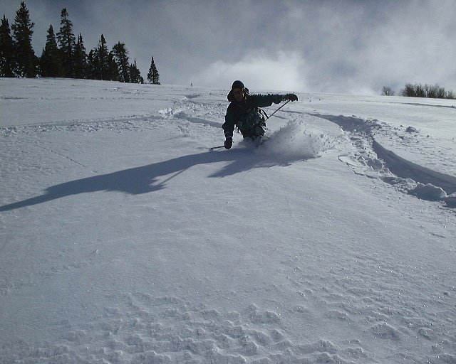
 Gary cranking some turns.
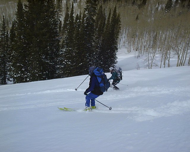
 Christoph and Gary continue down.
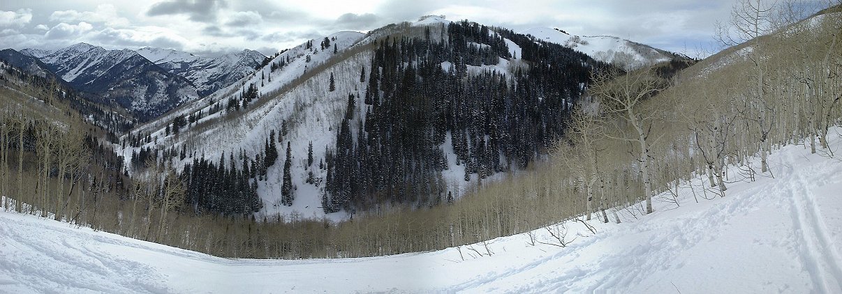 Panorama from about half the slope to the south-west, into Mill D Fork.
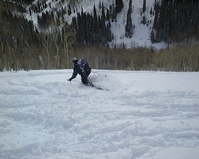 Gary in not such a good powder in lower Mill D Fork.
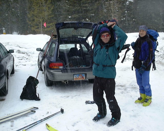 Starting at the car.
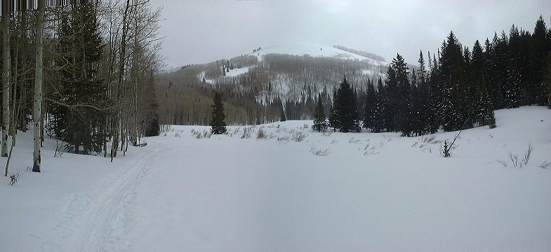 Mill D Fork before the turnoff towards Powder Park (the hill in the back is its part).
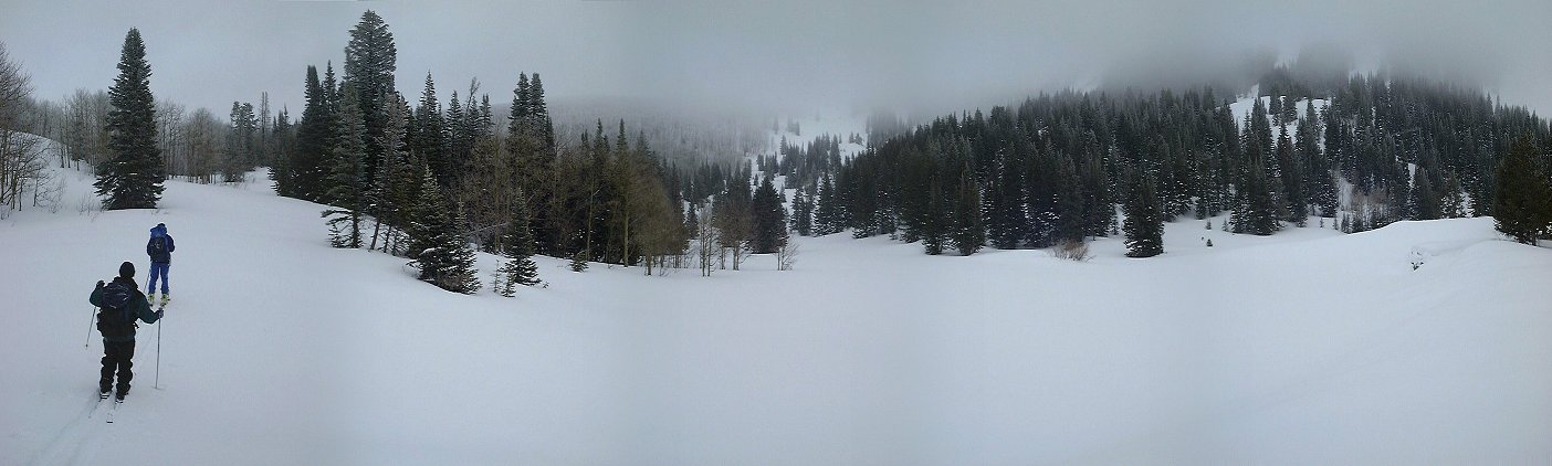 Panorama of the upper Mill D Fork, about 700m below Desolation Lake.
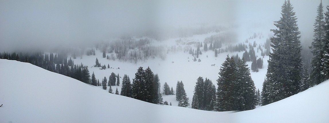 Panorama from a ridge south of Desolation Lake north towards the lake.
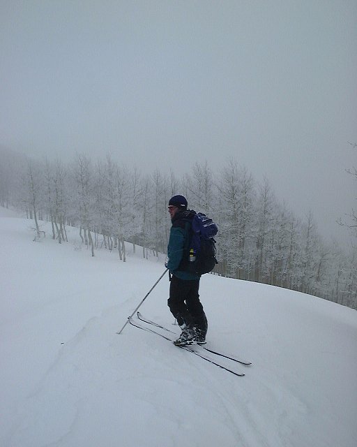 Gary above Desolation Lake.
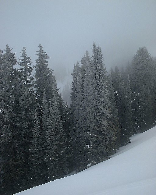
 Iced trees above Desolation Lake.
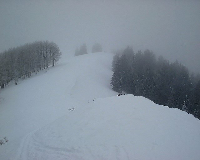 Ridge south of Desolation Lake on which we climbed up.
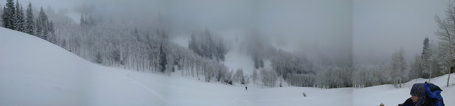 Panorama of the upper Beartrap Fork south. Here we took the skins off and started to slide down.
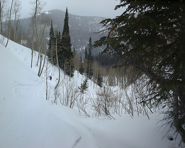 During the ski down in about middle of Beartrap Fork.