Park City area
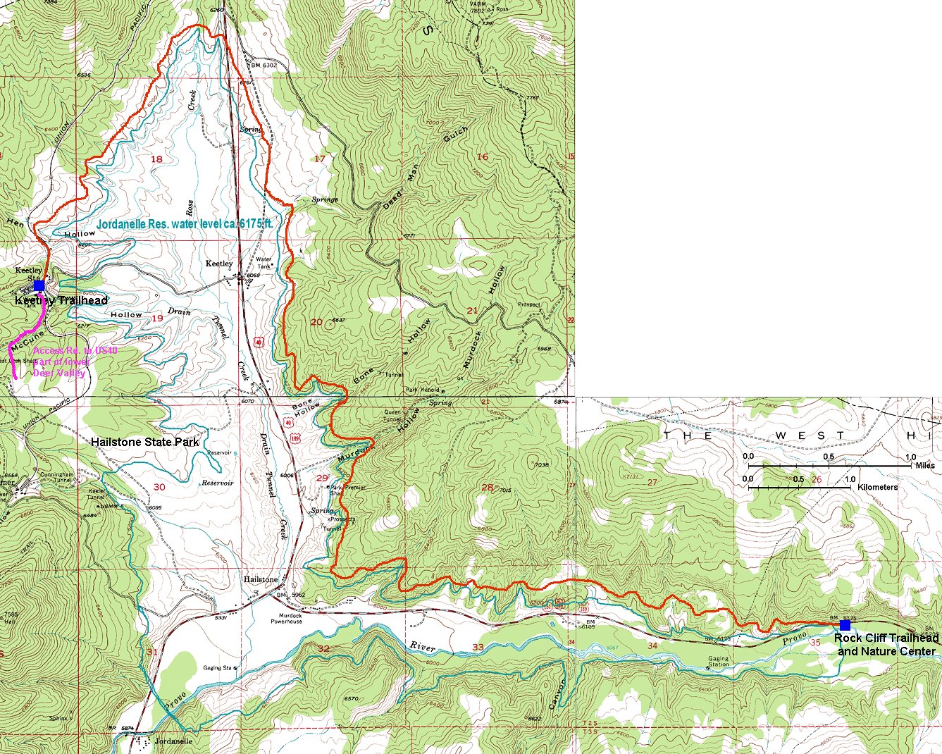
Jordanelle Perimeter Trail
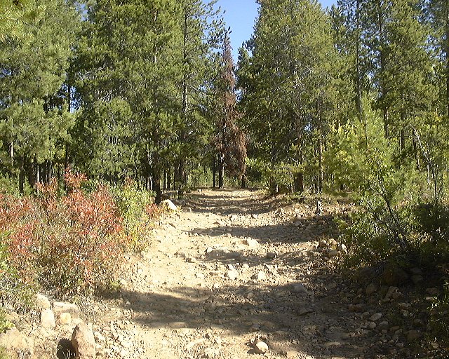
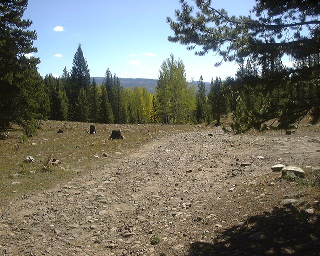
A 12.5 point-to-point trail that has been built along the north shore of Jordanelle Reservoir. It's a doubletrack covered with gravel, that is not much travelled and thus in parts overgrown by weeds. It copies the lake shore, but includes numerous ups and downs with total elevation gain a bit over 500 m one way. I rode it as an out and back starting at Keetley Station, which is the direction I would recommend. The profile is a bit flatter in the northern part and several longer climbs in the southern portion did not seem that bad on the way back as on the way there. The trailhead is tricky to find, turn left right at the US40 exit and follow signs "Perimeter Trail". Unfortunately, I forgot to put memory card in my camera, so, no pictures at the moment.
More info on Utahmountainbiking.com .
Here is a detailed 24 k map of the trail and the lake (630 kB).
U of U / CHPC / Cuma / Mountain Bike / East of Salt Lake City Uinta Mountains
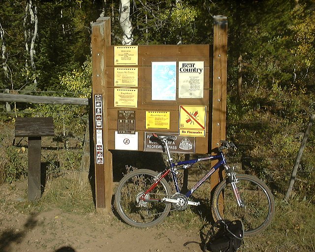
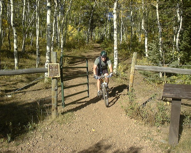
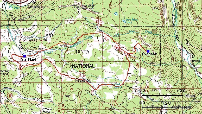
Soapstone Basin
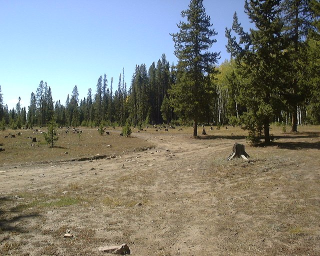
About a 16 mile dirt road loop in the southwestern part of the Uintas. The road itself is uneventful, standard dirt road with frequent ATVs and motorcycles. One half is a slow but steady climb up, the other a relatively fun ride down. The only highlight is the Bluffs overlook about 1.5 mile east off the loop, overviewing the Duchesne River gorge in the east.
Here is a trail map (200 kB).
Here is Gregg Bromka's account on the trail.
Fotos:
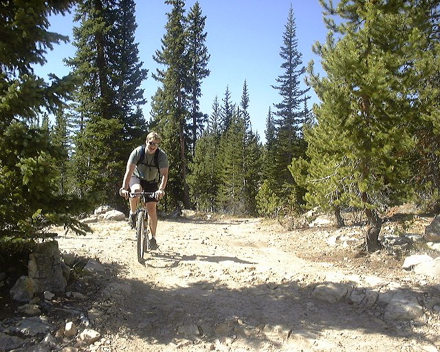
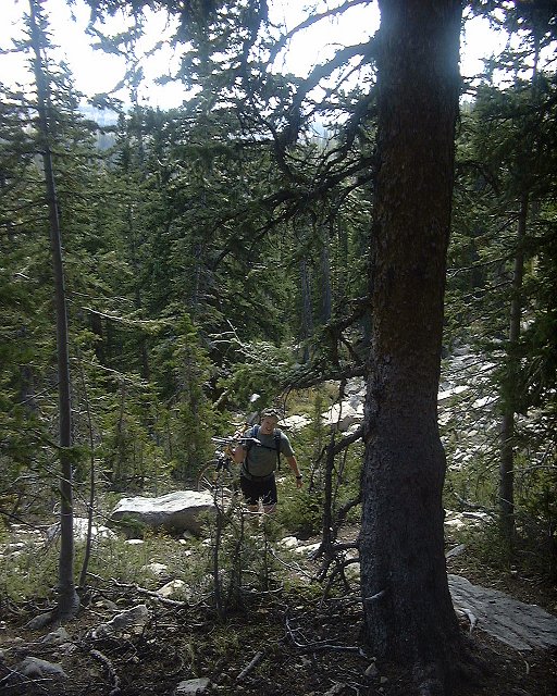
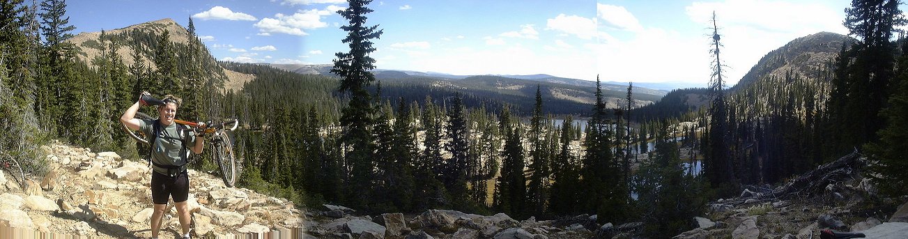
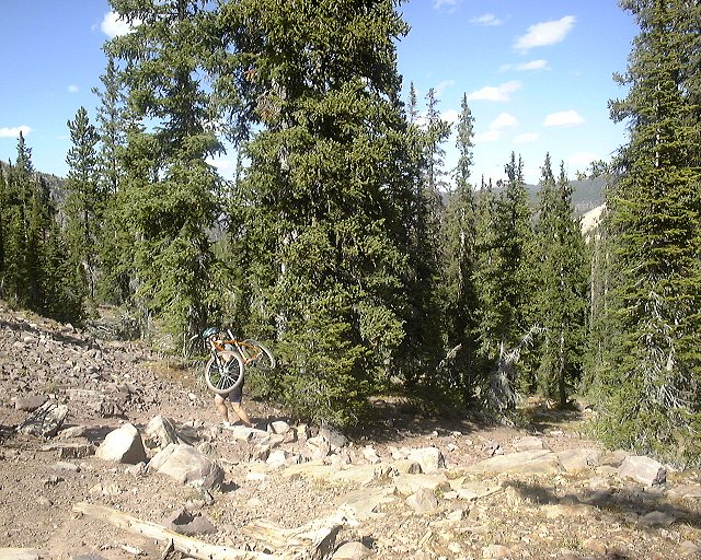
![]() Misha almost on the top of the climb.
Misha almost on the top of the climb.
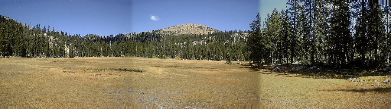
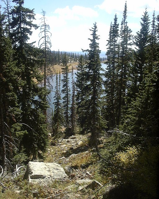
![]() Panorama from the Bluffs from west to east (230 kB).
Panorama from the Bluffs from west to east (230 kB).
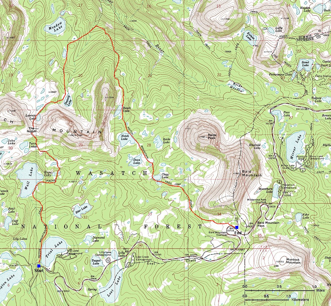
Notch Mountain Trail
Quite tough ride in the heart of western Uintas, rated moderate to extreme in Gregg Bromka's Wasatch & Uintas MTB bible. It is pretty extreme at parts, we rode cca. 75%, walked the rest. I would say that out of the 75%, a third was ridable with difficulty, mainly up or downhill with loose or embedded rock. Length is about 8 miles, but took us about 3.5 hours of ride/walk time. The unridable part was steep rocky sections, rock steps and boulder fields. We started the trail at Trial Lake and there were only few challenging sections for about a first mile, which I managed to clear all. As I stated to feel good about myself, the first climb toward the Wall lake came whihc brought me back to the reality. Then the trail flattened for a while, followed by a brutal ascent to the Notch Pass, which had to be mainly walked. From the pass down, there were some unridable sections, but not very long. Mostly it was a slowly descending pine covered trail with occasional rock areas. From the intersection east of Meadow Lake, the trail ascends again, mostly covered with loose rocks. My tactics was to hammer up until I was out of breath or the trail was too difficult, push for a bit, and ride again. This was repeated about five times which seemed to be enless, until I reached Bench lake. From here, the trail is almost flat, but not eventless. There are numerous rocky areas which require occasional descent. The stretch south of the Bald Mountain again requires a lot of walking, since the rocks on the trail are just too big. Overall, highly scenic but highly difficult trail.
Here is a trail map (200 kB).
Fotos:
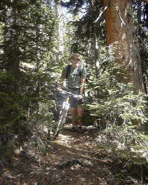
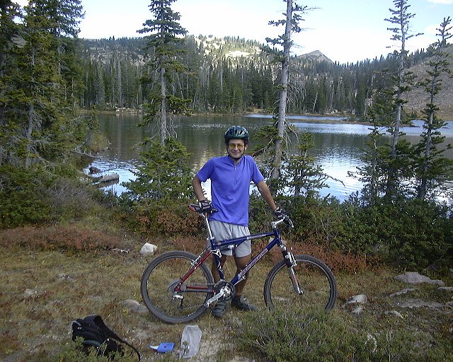
![]() Misha on the last stretch towards the Wall Lake.
Misha on the last stretch towards the Wall Lake.
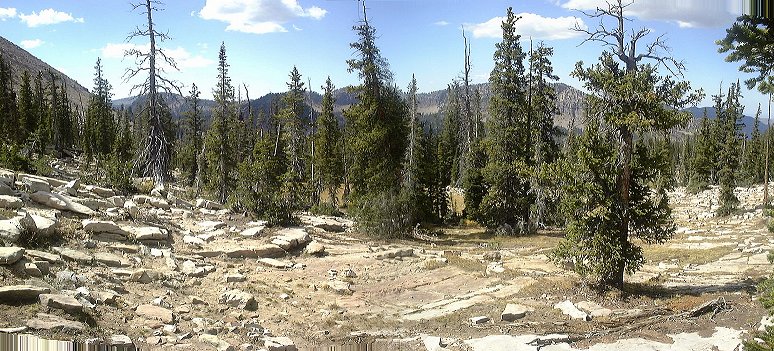
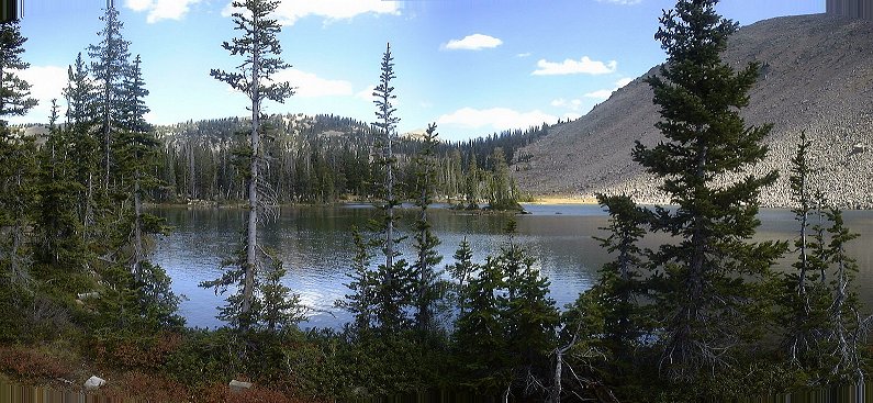
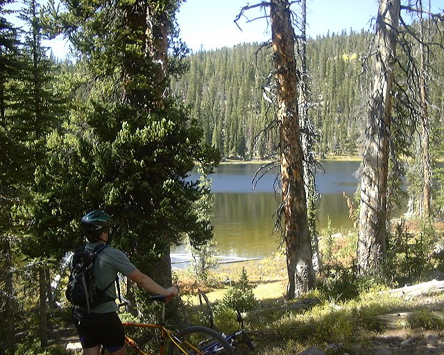
![]() Wall Lake panorama.
Wall Lake panorama.
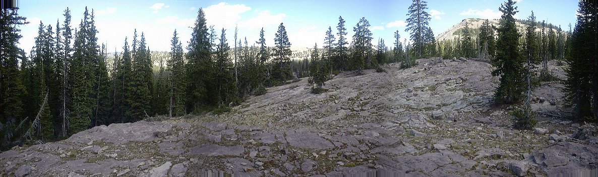
![]() Panorama from the Notch Pass south, Wall Lake in front, Trail Lake where we started in the back left.
Panorama from the Notch Pass south, Wall Lake in front, Trail Lake where we started in the back left.
![]() Me in the Notch Pass, still feeling pretty good.
Me in the Notch Pass, still feeling pretty good.
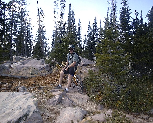
![]() Misha about mile from the trail end, not feeling that good anymore.
Misha about mile from the trail end, not feeling that good anymore.
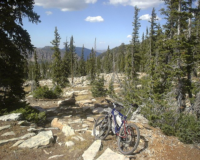
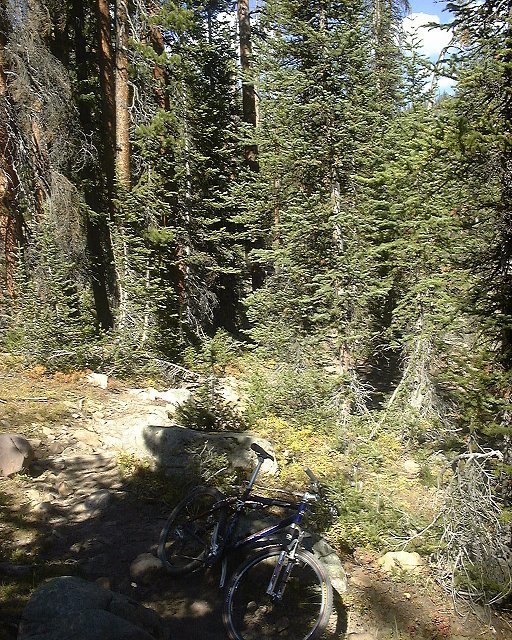
![]() Trail as it goes on from this point.
Trail as it goes on from this point.
Trial Lake Trail
A 17 mile loop, partially on the Mirror Lake Highway (uphill) and partially on a doubletrack (downhill). For the Uintas, nothing special. The doubletrack was mostly a gravel road, boring.
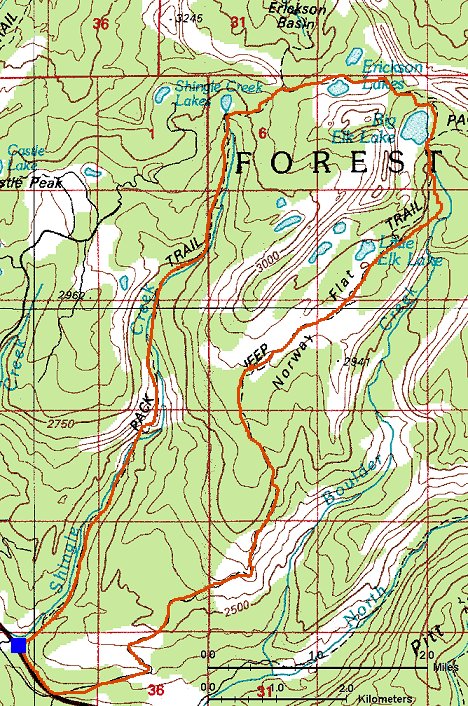
Norway Flat - Shingle Creek loop
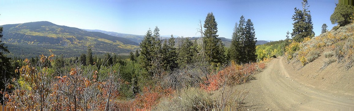
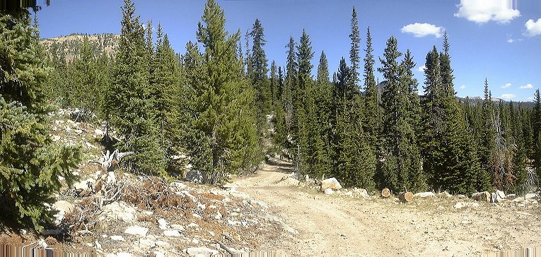
An adventure ride, that is worth doing once in a lifetime, in order to explore the area north of Beaver Creek on Mirror Lake Highway other way than on foot or in 4x4. 20 miles riding, 1/2 mile walking, 800 m vertical on bike and another 200 m on foot. The ride starts by climbing up 4x4 Norway Flats road, which is occasionally smooth, but mostly covered with rocks. After about 6 miles comes the end of the road and start of Big Elk Lake trail. This one goes first down into a small drainage and then up (some riding, some pushing) onto a large meadow. The small lakes there is not Big Elk Lake, that one is up the hill on a messy trail that starts across the meadow. Most of the climb is done with bikes on the back. Then the trail circles around Big Elk Lake, and climbs (with bikes on backs again) into a pass east of Ericksson Basin. Surprisingly, one can ride down towards Ericsson Lake from the pass, with occasional bike transfer across rock slabs. From the lake down south goes Shingle Creek trail, which is mostly rideable, but there are sections with big rocks and/or loose smaller rocks, which require pushing/porting. Although the trail goes mostly downhill and is about 7 miles long, it took us about 2.5 hrs to ride it down, so figure, how difficult it was. Overall, do this only if you are bored with trails around SLC and Park City and want to explore some more.
Here is a 100 k trail map (180 kB) and a more detailed 24 k map (630 kB).
Fotos:
 Riding the lower part of Norway Flats road.
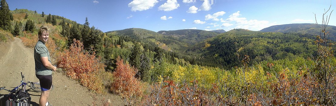 Panorama south and east from about middle of the climb, at the spot where we saw a moose.
 A first major intersection, the road continues on the left (last picture), now climbing only moderately on a plateau.
 Another intersection, in about a middle of the plateau .
 View north near the end of the road.
 Ron approaching at the same spot.
 Big Elk Lake trailhead, the trail is in the middle of the picture, still rideable.
 Panorama of the meadow with few small lakes east of Big Elk Lake.
 Trail climbing up towards Big Elk Lake.
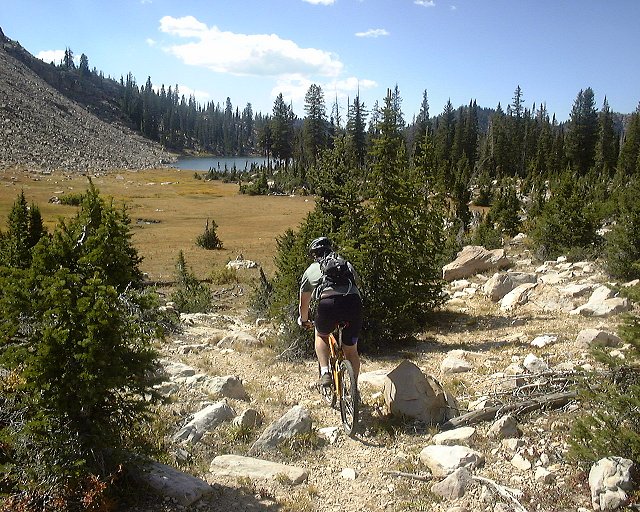
 View at Big Elk Lake from the trail climbing into the pass.
 Two shots from the same trail.
 Panorama near the pass east of Ericksson basin east towards three small lakes above Big Elk Lake.
 View from the pass west.
 Look east from pass, into Smith and Moorehouse valley.
 Ron descending towards Ericsson Lake.
 Ericksson Lake, in the behind the pass we came from.
 Ron and me on the Ericsson Lake's south shore.
 Panorama north from a small pass dividing Ericksson Basin from Shingle Creek.
 Ron climbing into the pass.
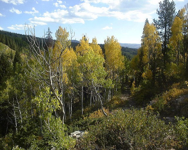
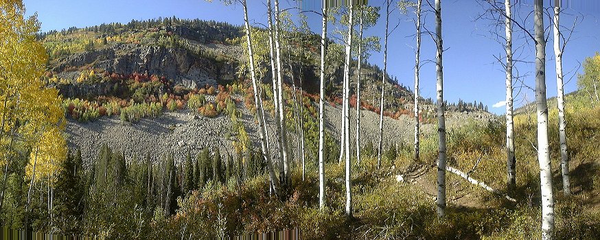
 East Shingle Creek Lake and the trail nearby it.
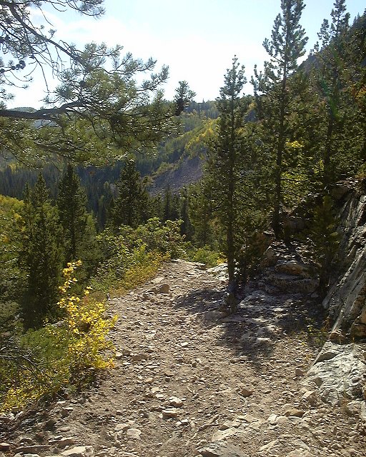
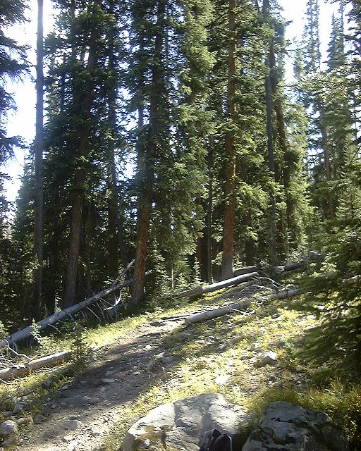 Example of a trail in the upper Shingle Creek.
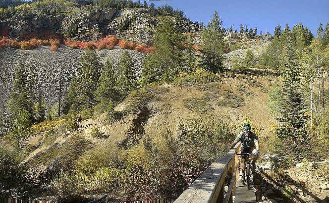
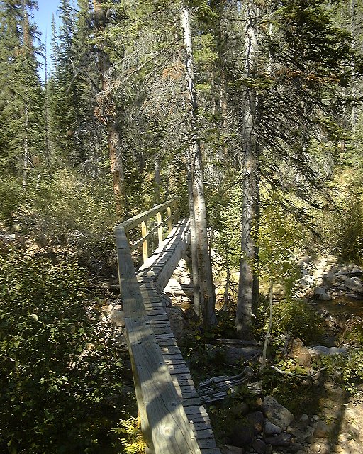 A bridge crossing the creek about 1/3 way down.
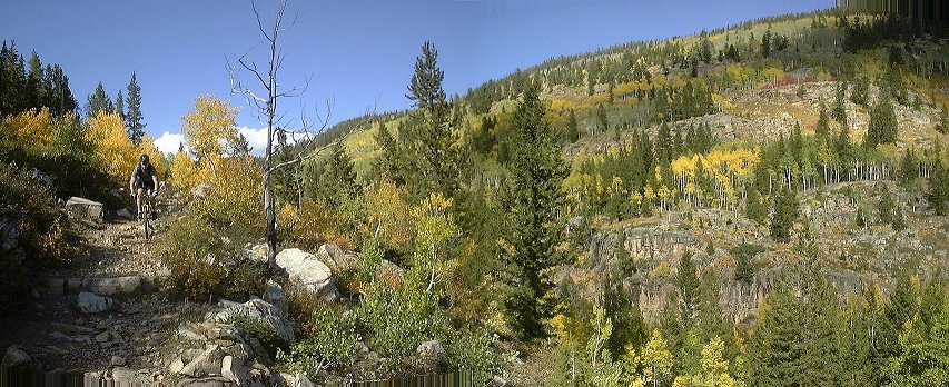 Descending central Shingle Creek trail.
 The trail above and on the descent on the face of the central gorge.
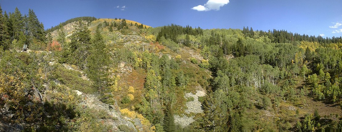 View east at the central Shingle Creek gorge a bit more down.
 Crossing the creek after reaching the creek again.
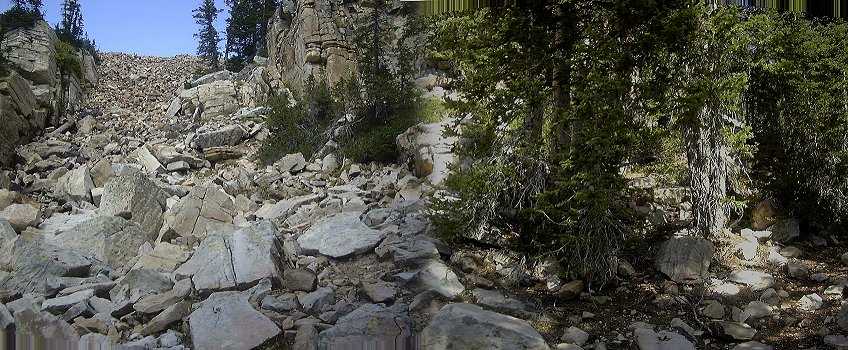
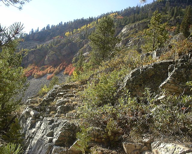
 Look at the steep colored west face of lower Shingle Creek gorge.
 Shingle Creek trailhead, both bikes and the riders survived with only few bruises.
URL:
http://voth.chem.utah.edu/~mcuma/bike/ut_sl_east.html