Southern Wasatch Front
This area is not only home of the true Mormon faith, but also incredible trails in the mountains above. Once trails in SLC get boring, it;s time to head south.
Ridge Trail 157
Diamond Fork - Strawberry Ridge
Blackhawk Trail
Ridge Trail 157
This trail follows the ridge of the Wasatch from the upper part of the American Fork Canyon south towards the loop road around Mt. Timpanogos. We made this into a loop, starting at the Tibble Fork reservoir, then pedalling up for about 2 hours on a dirt road to a pass and start of the ridge trail. This is followed by wild stretch of singletrack which seems to never end, as it goes up and down along the ridge. The loop is completed by nice descent down the Tibble Fork trail to the reservoir. The ride took as a bit over 4 hours and somewhat around 35 km long, with at least 1200 m elevation climbed.
Here is Gregg Bromka's account on the shuttle version of the trail.
Here is a trail map (260 kB).
Fotos:
 Stretching before the ride.
The dirt road up the pass. ATV density was medium (one in ca. 5 min.).
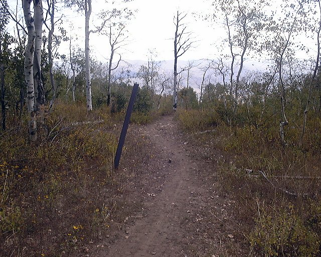
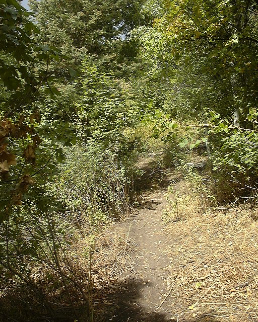
In the pass where the singletrack starts. The trail is hidden in the forest in the middle of the picture.
Before the climbs towards the Mill Canyon Peak, view north-west. Forest Lake below and Little Cottonwood mountains with American Fork Twins in the middle (230 kB).
View from the southwestern slope of Mill Canyon Peak towards Mt. Timpanogos. On the right is the pass through which the trail goes (300 kB).
View west down via Tibble Fork to the American Fork Canyon, Timp on the left (215 kB).
Diamond Fork - Strawberry Ridge
A whole day adventure trail (ca. 24 miles long), mostly singletrack and jeep roads, about 20 miles SE of Provo. We approached it the standard way up Diamond Fork road, unfortunately, the road is closed about 3 miles from the trailhead due to a construction of a water tunnel. We tried to tunnel through, but were stopped by construction workers. After a fierce word exchange and threat having and escort we backed off. So be warned, the construction lasts till June 2004. After a while of thinking, we figured that alternative is to go to the Rays Valley Road (about another 15 miles up Spanish Fork Canyon). The drawback of this approach is that the last ca. 5 miles is a 2000 ft. climb up Cottonwood Canyon. We got to the crossing of the trail with the road at about 1pm, quite late. In about and hour, we got to the Strawberry Ridge, which provided great views of the fall-colored southern Wasatch and a pretty good doubletrack. After few orientation problems we successfully found the unmarked turnoff to Fifth Water Fork, and what followed was about 8 mile descent. We stopped for a while at the hot springs, just to feel the water and wash the face. Probably because of the road closure, there was nobody there. The last 1.5 hours were marked by ascent up Cottonwood Cyn. It was not that bad, the trail was mostly moderately steep and the surface was good.
Here is a trail map (300 kB).
Here is Gregg Bromka's account on the trail.
Fotos:
First service stop about 1 mile up Second Water Fork.
Fixing Allan's rear wheel at the same spot.
Lee, Gary and Sharon somewhat more up Second Water.
Panorama towards SE from Strawberry Ridge about 1 mile from the intersection with Second Water (170 kB).
Panorama from south to north via west from Strawberry Ridge a bit further up north (235 kB).
360 deg. panorama from one of the highest points of the ride (330 kB).
Resting after first part of the wild descent down Fifth Water Fork.
The trail goes much more down.
Lee crossing the Fifth Water Creek.
Three shots of hot springs in the lower part of Third Water.
Sharon going down in a pictoresque setting below the hot springs.
Sandstone formation a bit below.
Me crossing the bridge of the Sixth Water Creek.
Trailhead at Diamond Fork.
Allan, Dave and Gary and Sharon and Lee reaching crossing of the Rays Valley Rd. and First Water Fork.
Panorama north from Rays Valley Rd. towards Second Water (180 kB).
Blackhawk Trail
Another suggestion from Gregg Bromka. This trail is located off Nebo Loop highway about 10 miles south of Payson. In early Sept. 2001, we did the loop suggested in the book, about 17.5 miles long, all but 3 miles singletrack. We started at the Loafer Mtn. trailhead and hopped on Blackhawk Trail singletrack. Good news is, that most of the trails in the area are closed to ATV to protect blackhawk nesting. The singletrack climbs for a while and then levels up with interminent ups and downs. Thanks to the fact, that the trail is not much travelled, the trail was fairly narrow competing with famous Fruita singletrack. After riding through Blackhawk campground, we turned onto Beaver Dam Creek Trail, which countours around the upper valley of the creek, first slightly descending and then ascending. This trail was in a good shape too, although at spots very narrow witn abrupt turns. Then we ended up on the Nebo Loop road, rode on it about 1.5 miles, then another 1 mile on forest road 014, and turned right on singletrack Rock Spring Trail which descended fast to now dry Lizard Lake. Then followed a couple of steep pitches up, in loose dirt (made by horses), and another downhill on Jones Ranch Trail, that goes in a valley of a small creek quite messed up by cows. The trail spit us out on the Loop road, and we pedalled about 0.5 miles up back to the car. Overall very pleasant experience on phenomenal singletrack. There is many more trails in the area that need to be explored.
Here is a trail map (300 kB).
Here is Gregg Bromka's account on the trail.
Fotos:


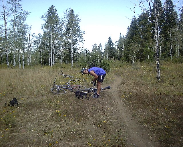
 At the first unmarked intersection of Blackhawk Trail, both trails meet back in about a mile.
 Gary on another intersection about mile north of Blackhawk campground.
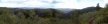
 Panorama south from the same spot. The trail here goes through the meadows on the right side.
 Me at a meadow close to Blackhawk campground.

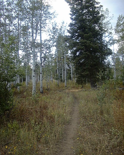
 On the trail around Beaver Dam Creek canyon.
 Panorama of Beaver Dam Creek canyon from its western side.
 View north towards Utah valley from an overlook on Nebo Loop road.
U of U / CHPC / Cuma / Mountain Bike / Southern Wasatch Front
URL:
http://voth.chem.utah.edu/~mcuma/bike/ut_south_wf.html
 At the first unmarked intersection of Blackhawk Trail, both trails meet back in about a mile.
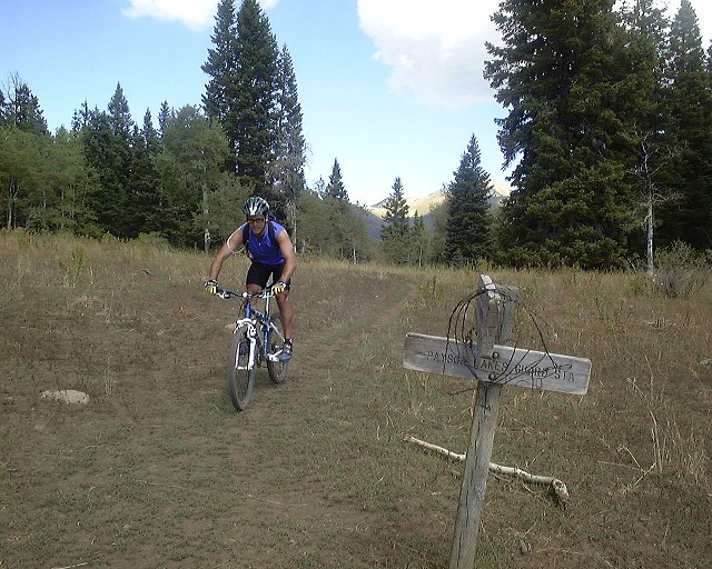 Gary on another intersection about mile north of Blackhawk campground.
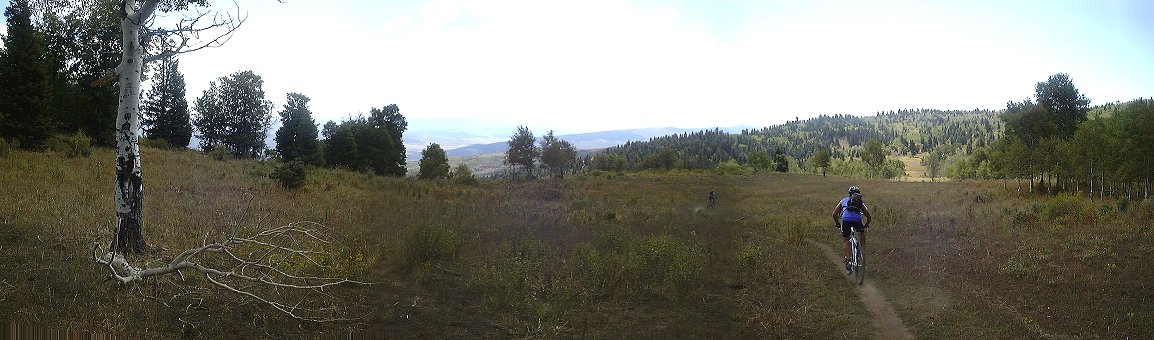 Panorama south from the same spot. The trail here goes through the meadows on the right side.
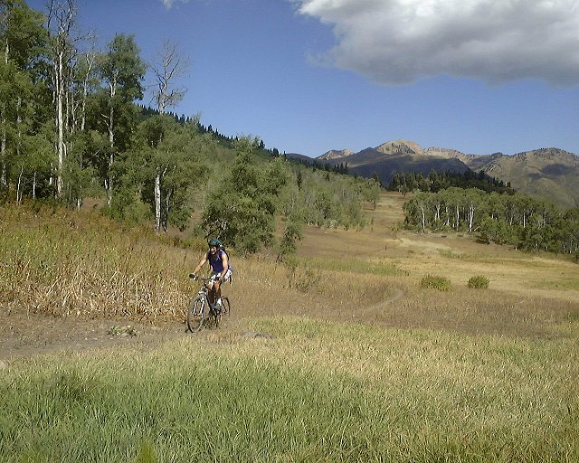 Me at a meadow close to Blackhawk campground.
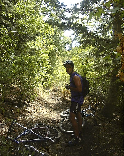
 On the trail around Beaver Dam Creek canyon.
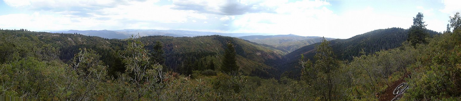 Panorama of Beaver Dam Creek canyon from its western side.
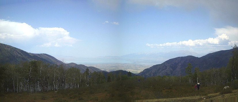 View north towards Utah valley from an overlook on Nebo Loop road.